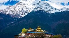

Among all overland routes into Tibet, National Highway G219 (The Xinjiang-Tibet Highway) is undoubtedly the most challenging, mysterious, and awe-inspiring. Connecting Xinjiang with western Tibet, it traverses endless gravel deserts, towering mountain ranges, glacier valleys, and turquoise high-altitude lakes. Known by road-trippers as “hell for the body, heaven for the soul,” this extreme highway offers unforgettable natural beauty. Here is your ultimate guide to the key stopping hubs and iconic landscapes along G219.
Key Takeaways
- Ultimate High-Altitude Challenge: National Highway G219 (Xinjiang-Tibet Highway) is one of the highest, remote, and most treacherous roads in the world. Traversing the Tarim Basin and the Qinghai-Tibet Plateau, the route stays at an average elevation above 4,500 meters and crosses several high mountain passes over 5,000 meters.
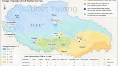
- Essential Stopping & Supply Hubs: Key stopping towns along the self-drive route include Yecheng (Kilometer 0 starting point), Mazar, Dahongliutan, Si’rengou (Quanshui Lake), Rutog, Shiquanhe (capital of Ngari/Ali Prefecture), Darchen (base town for Mount Kailash), and Purang.
- Unmissable Natural & Cultural Marvels:
- Sacred Peak & Lake: Mount Kailash (revered as the center of the world) and Lake Manasarovar (one of Tibet’s holy lakes).
- Hidden Wonders: Pangong Tso (a cross-border lake shared with Kashmir), the mysterious ruins of the Guge Kingdom, and the carved canyon formations of Zanda Earth Forest.
- Extreme Travel Warnings: Dubbed the “Sky Road in the Clouds,” the Xinjiang-Tibet Highway rapidly climbs from a few hundred meters to over 4,000 meters in a short distance. Severe altitude sickness is common, demanding high vehicle performance, experienced driving, and strong physical preparation.
Major Stopping & Supply Hubs Along the Xinjiang-Tibet Highway
Because G219 passes through remote, sparsely populated terrain at extreme altitudes, planning your rest and refueling stops carefully is critical to safety and stamina:
Yecheng County (Elevation: ~1,400 meters) — Kilometer 0 Starting Point: Located in Kashgar Prefecture, Xinjiang, Yecheng marks the official start of the Xinjiang-Tibet Highway (home to the iconic G219 Kilometer 0 marker). Travelers stock up on supplies, inspect vehicles, and check border permits here.
Mazar & Dahongliutan (Elevation: 3,800–4,200 meters) — Kunlun Supply Points: After climbing Kudi Pass from Yecheng, you reach Mazar, a gateway access point toward K2 (Mount Qogir). Dahongliutan serves as a crucial lodging and dining rest point before entering uninhabited stretches.
Si’rengou / Quanshui Lake (Elevation: 5,013 meters) — The High-Altitude Endurance Checkpoint: Located near the Xinjiang-Tibet border, this extreme high-altitude spot features thin air and harsh weather. It acts as an emergency stop and legendary landmark for off-road drivers crossing the border.
Rutog County (Elevation: 4,250 meters) — Gateway to Ngari/Ali Prefecture: The first town reached after crossing into Tibet. Rutog offers picturesque scenery and serves as the main launchpad for visiting Pangong Tso.
Shiquanhe Town / Gar County (Elevation: 4,300 meters) — Regional Capital of Ngari: The largest and most developed town along G219. Equipped with hotels, hospitals, and auto repair shops, it provides a well-deserved rest stop after days of rugged driving.
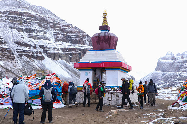
Darchen / Mount Kailash Base Town (Elevation: 4,600 meters) — Trekking Base: Situated at the foot of Mount Kailash, Darchen is the essential base for pilgrims and hikers undertaking the sacred Mount Kailash Kora (circuit) or visiting nearby Lake Manasarovar.
Purang County (Elevation: 3,900 meters) — Tri-Border Trading Hub: Nestled at the border intersection of China, India, and Nepal, Purang enjoys a milder climate and rich historical heritage.
Unmissable Scenic Highlights Along G219
Traveling along the Xinjiang-Tibet Highway brings you face-to-face with some of the most untouched and dramatic landscapes on Earth:
Kudi Pass & Mazar Pass: Winding Mountain Precipices
Highlights: Leaving Yecheng, the road ascends rapidly into the sky. Kudi Pass (3,150 meters) and Mazar Pass (4,969 meters) feature dramatic hairpin turns carved into steep mountain faces, offering sweeping views of rocky gorges and snow peaks.
Pangong Tso: The Dual-Flavored Border Lake
Highlights: Situated in Rutog County, Pangong Tso is a narrow, elongated lake spanning the border between China and Indian-administered Kashmir. Remarkably, the eastern section inside China consists of fresh water rich in fish and vegetation, while the western end turns saline. The lake is also home to a famous Bird Island.
Zanda Earth Forest & Guge Kingdom Ruins: Epic Earth Formations
Highlights: Detouring off the main highway into Zanda County reveals the surreal Zanda Earth Forest, where canyon walls resemble ancient castle ruins. Perched on a high cliff inside the canyon sits the Guge Kingdom Ruins, a 17th-century abandoned citadel filled with historical mystery and ancient murals.
Mount Kailash: The Center of the World
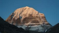
Highlights: Revered by Tibetan Buddhism, Hinduism, Bon, and Jainism as the sacred “Center of the World,” Mount Kailash (6,638 meters) features a distinctive pyramid-shaped peak covered in perpetual snow. It attracts pilgrims from around the world who hike the 52-kilometer trek around its base.
Lake Manasarovar & Lake Rakshastal: The Sacred and Ghost Lakes
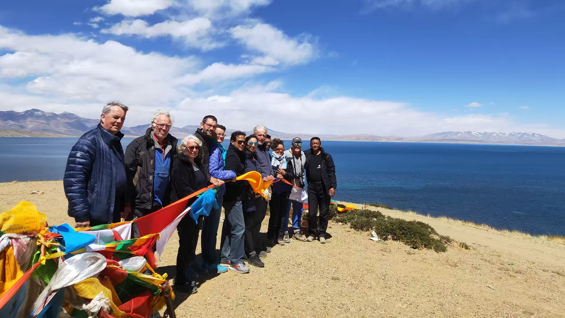
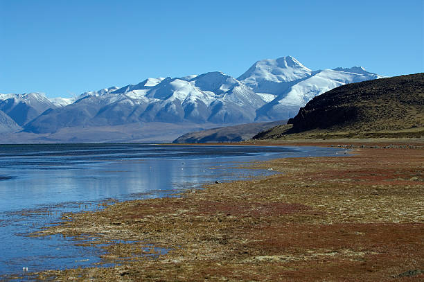
Highlights: Lake Manasarovar (4,588 meters) is one of Tibet’s three holiest lakes, celebrated for its deep blue waters and spiritual purity. Right across the road lies Lake Rakshastal (the “Ghost Lake”), known for its windy, dark blue waters—creating a striking contrast between the twin lakes.
Practical Tips for Driving the Xinjiang-Tibet Highway
Prevent Altitude Sickness: G219 features the most drastic elevation gains of any Tibetan highway, rising from hundreds of meters to over 4,000–5,000 meters in a short drive. Take altitude medication in advance and carry medical oxygen cylinders in your vehicle.
Secure Border Travel Permits: The entire G219 route runs near international borders. Passing through Yecheng, Rutog, Shiquanhe, and Purang requires a valid Border Travel Permit. Ensure your permit explicitly lists Kashgar, Aksu, and Ngari (Ali) prefectures.
Vehicle & Fuel Preparation: Road conditions can be rough, and distances between gas stations are long. Drive a 4WD off-road vehicle or high-clearance SUV, and refuel whenever your tank drops below half.
Prepare for Extreme Weather: Plateau weather changes rapidly; snowstorms, strong winds, and freezing temperatures can occur even in mid-summer. Pack heavy down jackets, windproof outer gear, and extra high-energy food rations.